Ring road 4169 — around Koh Samui on a scooter (2026)
The 4169 is the one road every rider on Samui ends up on: a mostly two-lane loop around the island that touches almost every beach, pier and big temple. This page is the loop as I ride it from Chaweng — clockwise, with the stops in order — plus a GPX you can load into any navigator.
Grey — every road I have ridden; colour — this route. Tap a pin for Google Maps navigation. GPX works in Maps.me, Organic Maps, OsmAnd, Garmin.
Climbs and descents
Across — kilometres from the start, up — metres above sea level; the numbers at the bottom are the stops listed below. Bars under the chart and the yellow-and-black stretches on the map mark steep sections (over 12 %, dark red over 20 %). Elevation comes from SRTM satellite data, smoothed: an estimate, not a measurement on the road.
Stops along the way
-
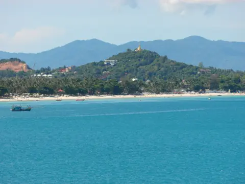
Photo: Roma Neus, CC BY 3.0, Wikimedia Commons ViewpointLad Koh Viewpoint
East-coast sea view right on ring road 4169
-
Food & view
Vikasa Life Cafe (Lat Ko)
Clifftop cafe, panoramic ocean view
-
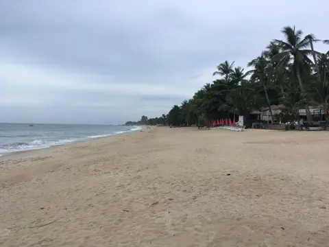
Photo: Christophe95, CC BY-SA 4.0, Wikimedia Commons BeachLamai Beach
Second-largest beach, southeast coast
-
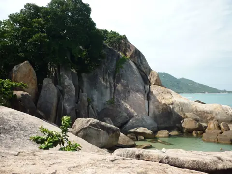
Photo: Dirk Enthoven, CC BY 3.0, Wikimedia Commons BeachHin Ta Hin Yai (Grandfather & Grandmother Rocks)
Famous rock formations by Lamai beach
-
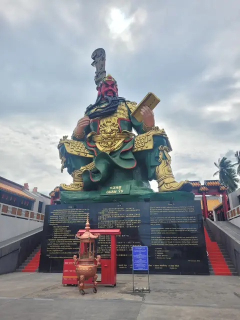
Photo: Superraptor123, CC BY-SA 4.0, Wikimedia Commons TempleGuan Yu Shrine
16m bronze Chinese deity, Hua Thanon
-
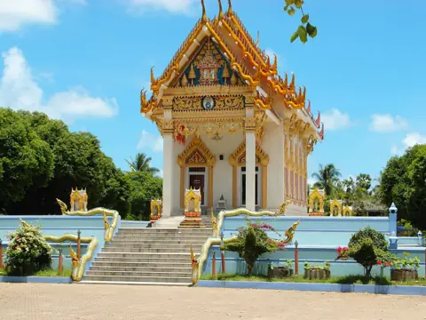
Photo: Roma Neus, CC BY 3.0, Wikimedia Commons TempleWat Khunaram
Mummified monk Luang Pho Daeng
-
Beach
Taling Ngam Beach
Tranquil southwest beach, Five Islands sunsets
-
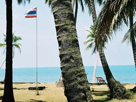
Photo: Tsui, CC BY-SA 3.0, Wikimedia Commons BeachLipa Noi Beach
Best sunset beach, west coast
-
Area
Nathon Town & Walking Street
Island capital, Saturday night market
-
Beach
Bang Por Beach
Secluded north-coast beach, local seafood
-
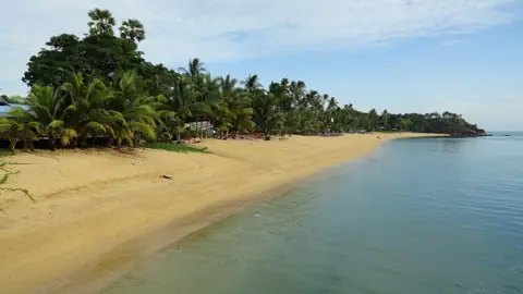
Photo: Fabio Achilli from Milano, Italy, CC BY 2.0, Wikimedia Commons BeachMaenam Beach
Long quiet north-coast beach, Phangan views
-
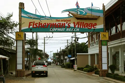
Photo: Ralf Schmidt, CC BY-SA 3.0, Wikimedia Commons AreaFisherman's Village (Bophut)
Old town, walking street, Friday market
-
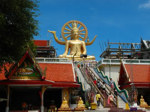
Photo: Roma Neus, CC BY 3.0, Wikimedia Commons TempleBig Buddha (Wat Phra Yai)
Golden 12m Buddha on an islet
-
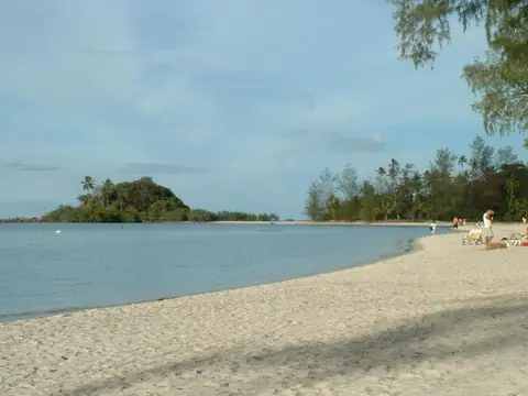
Photo: OwlofDoom, CC BY 1.0, Wikimedia Commons BeachChoeng Mon Beach
Calm crescent bay, northeast tip
The loop in numbers
| Distance | 64 km as mapped here (the bare 4169 is about 51 km; the GPX includes the short legs out to Lad Koh and Big Buddha). |
|---|---|
| Riding time | About 1.5 hours non-stop at a relaxed 40–50 km/h. With stops it is a comfortable half day; with beaches and a long lunch — a full one. |
| Road | Mostly paved, mostly two lanes, wider in places. |
| Scooter | Any 110–125cc automatic is enough. Fuel: fill up when you see a station, and do not count on the next one being close. |
| Direction | Clockwise from Chaweng (south first) puts the sea on your left for the east and south coasts and lands you at Bophut for the north-coast sunset. Big Buddha is the detour after that, not the sunset stop. |
Where to be careful
- Chaweng ring road junctions — the busiest traffic on the island. Look twice before pulling out.
- Nathon town — the loop passes the pier; expect songthaews stopping without warning. Nathon is passenger boats to the mainland, not a vehicle ferry.
- Night riding — take the south and west slowly. Dogs sleep on the warm asphalt. If you can, finish the loop before dark.
- Rain — the first minutes of a downpour lift oil off the road. Pull in under a shop awning, it passes.
How to ride it
- Chaweng → Lamai (east coast). Short climb to Lad Koh viewpoint — stop for the sea view and a coffee at Vikasa, then drop down into Lamai. Hin Ta Hin Yai rocks are at the south end of the bay, a short ride on from Lamai.
- Lamai → Hua Thanon → Wat Khunaram (south). The road moves a little inland. Guan Yu shrine stands right on the 4169; Wat Khunaram with the mummified monk is about 3 km further on.
- Taling Ngam → Lipa Noi → Nathon (west). The quietest third of the loop. Taling Ngam and Lipa Noi beaches are off this road, toward the sea. Lipa Noi pier is where the vehicle ferry from the mainland comes in.
- Nathon → Bang Por → Maenam → Bophut (north). Beaches again, this time looking across to Koh Phangan. Fisherman's Village at Bophut is the natural late-afternoon stop.
- Big Buddha → Choeng Mon → Chaweng. The last detour off the loop: Big Buddha on its islet, then around the airport headland back into Chaweng.
GPX and navigation
The GPX above is cut from my own GPS log, so it follows the lanes and turns exactly as ridden. Import it into Maps.me, Organic Maps, OsmAnd or a Garmin and it works offline. Google Maps does not open GPX files — for Google, tap any stop on the map and use Directions.
If you only want the ring road itself without the side trips, skip the Lad Koh and Big Buddha legs: they are marked as stops, so you will see where the track leaves the 4169.
Questions
How long does it take to drive around Koh Samui?
About 1.5 hours non-stop on a scooter. With the usual stops — a viewpoint, a temple, lunch and a beach — plan half a day.
Is the 4169 ring road safe for a beginner?
The road itself is easy: mostly paved, mostly two lanes, with a steeper hill between Chaweng Noi and Lamai. The risk is traffic in Chaweng and Lamai, not the road. If you can ride steadily at 40 km/h and brake before corners, you can do the loop. Start early, when traffic is light.
Which direction should I ride the ring road?
Clockwise from Chaweng puts the sea on your left for most of the loop and gets you to the north coast for sunset. Counter-clockwise gets you to the west coast for sunset instead. Both are fine.
Can I do the loop in one day with stops?
Yes. Start in the morning, leave time for a proper lunch, and you are back before evening. If you also want beach time, pick one beach rather than three.

Anton A.
I live on Koh Samui and have been riding the island for several years. Every road on these maps I rode myself — the track is a real GPS log. Spotted an error? Message me on Telegram: @abrameicev